
Click on the image to get the 2.1MB 10000x866 version, or here for the Hi-Res 21907x1897 version.
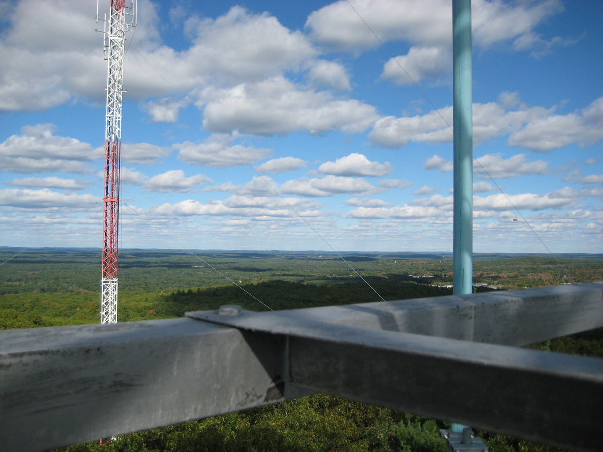
This is take from the fire tower. It is open to the intrepid when it is in use, at the discretion of the ranger. On this cool and windy fall day, it was not open. So, I settled for taking it from the steps. Problem #1 is that there is a ton of scaffolding. You can see it in the original pictures below of the view to Boston and the view to Sudbury. I had to take many pictures from a few different places to get all fo the pixels unobsctructed - which I failed to do, so, there are some replicated pixels here and there. The second problem is the wind on the tower was causing a little vibration, so, some of the pictures of the panorama are not in focus (it could not have been an unsteady hand, no way!). Third, the clouds were moving, so, different pictures have different amount of cloud cover and the exposure was changing.
Given the raw material I had, my first priority was to make the horizon as "geometrically" accurate as possible. I did this inspite of incurring more time hacking the color blends together. The second priority was to grab the best pixels of the interesting features in the "foreground" (and keep them in the right place!). After that, I worked on the blends until they were below a certain tolerance of visual distraction.
Click on the image to get the 2.1MB 10000x866 version, or here for the Hi-Res 21907x1897 version.
![]()
Juxtaposition of a 1928 hand drawn panorama inset into the 2008 panorama with a few more annotations.
| Boston Skyline to left and Sudbury to right.
Note the tower structure! |
 Original Sudbury image (scaled down) |

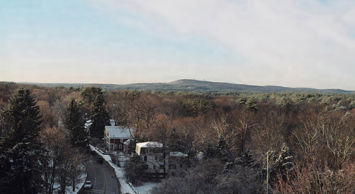
Panorama with zoom from FPS in 2023. Note Tippling Rock, white face just below and to the right of the last tower on the right. (click on image to get full image)
What's the Best view of Nobscot? | |||
 Intersection of Karen and Cynthia |
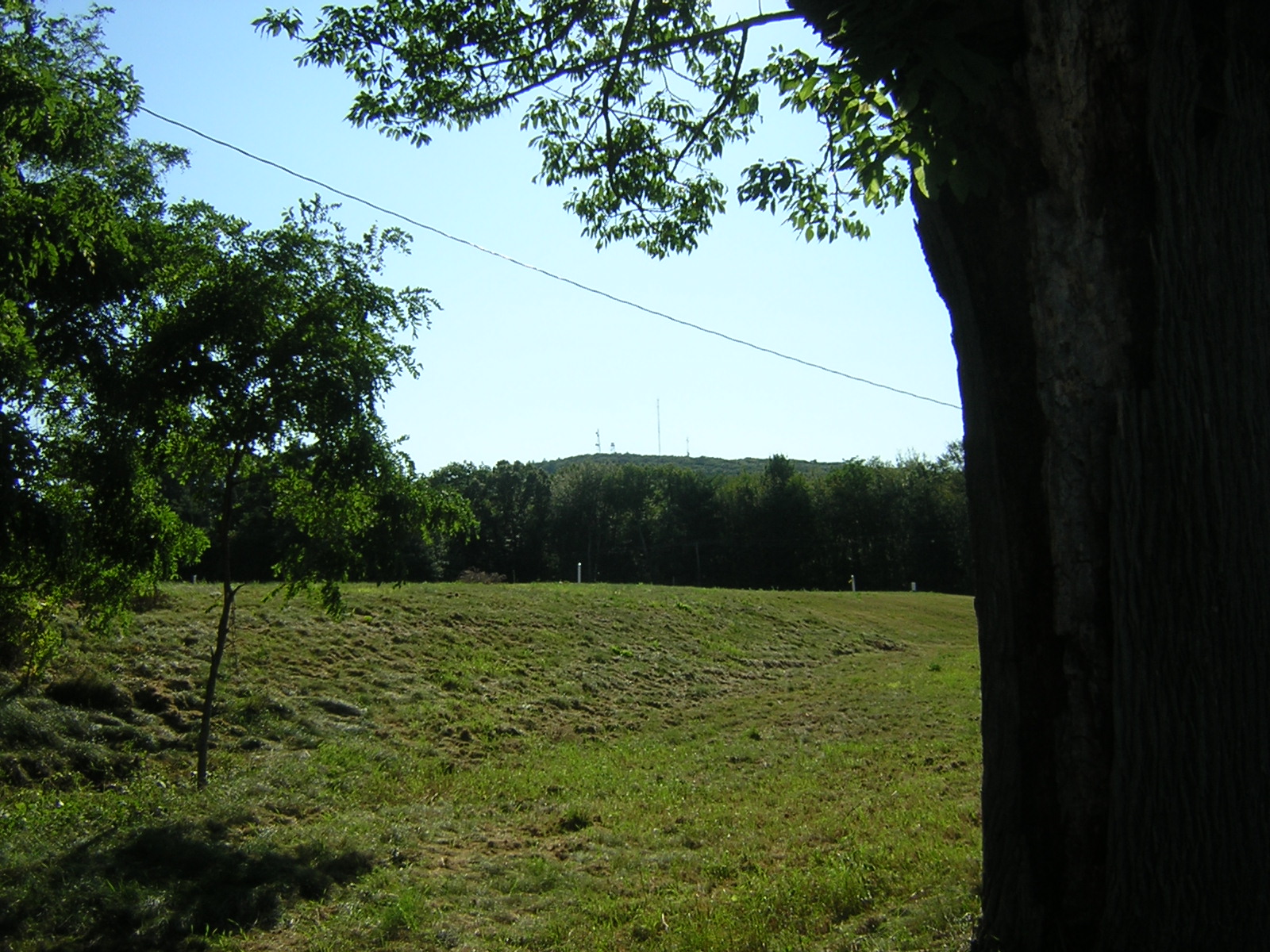 Old Framingham Road |
 End of Carter Drive |
 From: The Annals of Sudbury, Wayland and Maynard, Middlesex County, Massachusetts, by Alfred Sereno Hudson. 1891.
DISTANT VIEW OF NOBSCOT HILL, THE EARLY HOME OF INDIAN JETHRO OR TANTAMOUS.
www.jch.com/tipplingrock/NobscotPanorama2008.html - YON - September, 2008 (Add Hudson print 2024-01-14)
